Lomo Perera
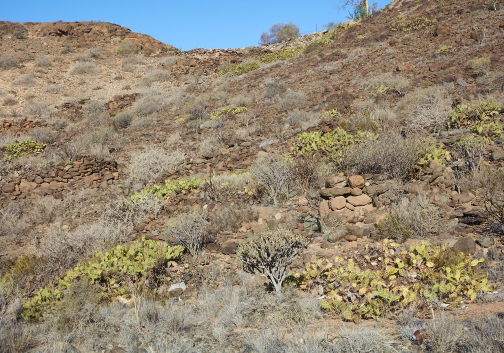
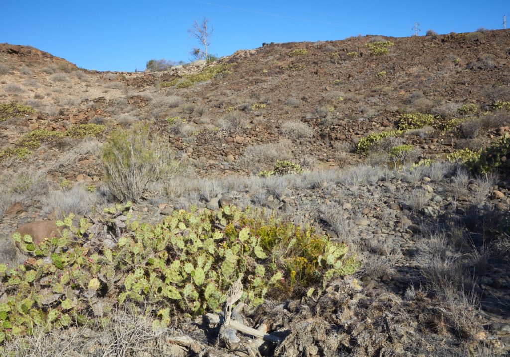
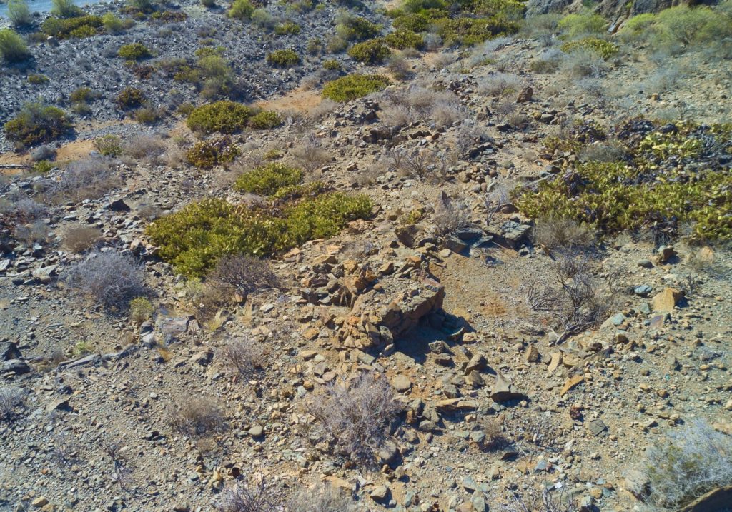
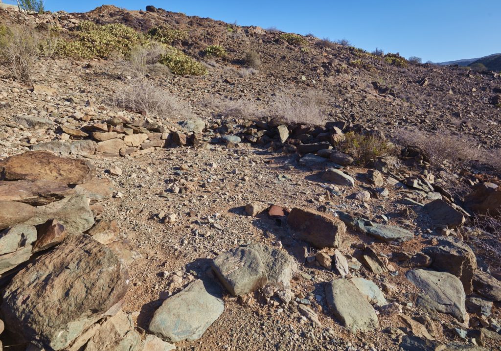
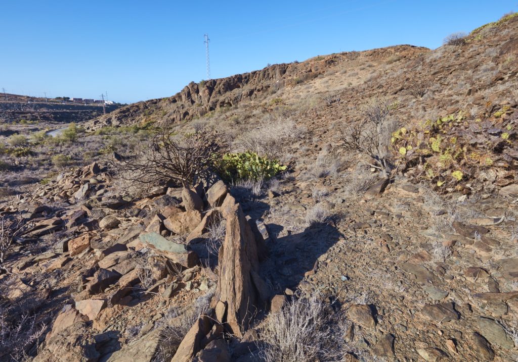
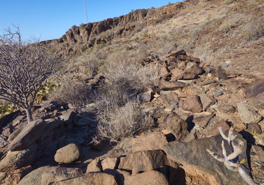
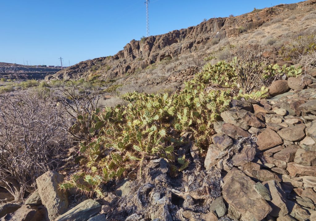
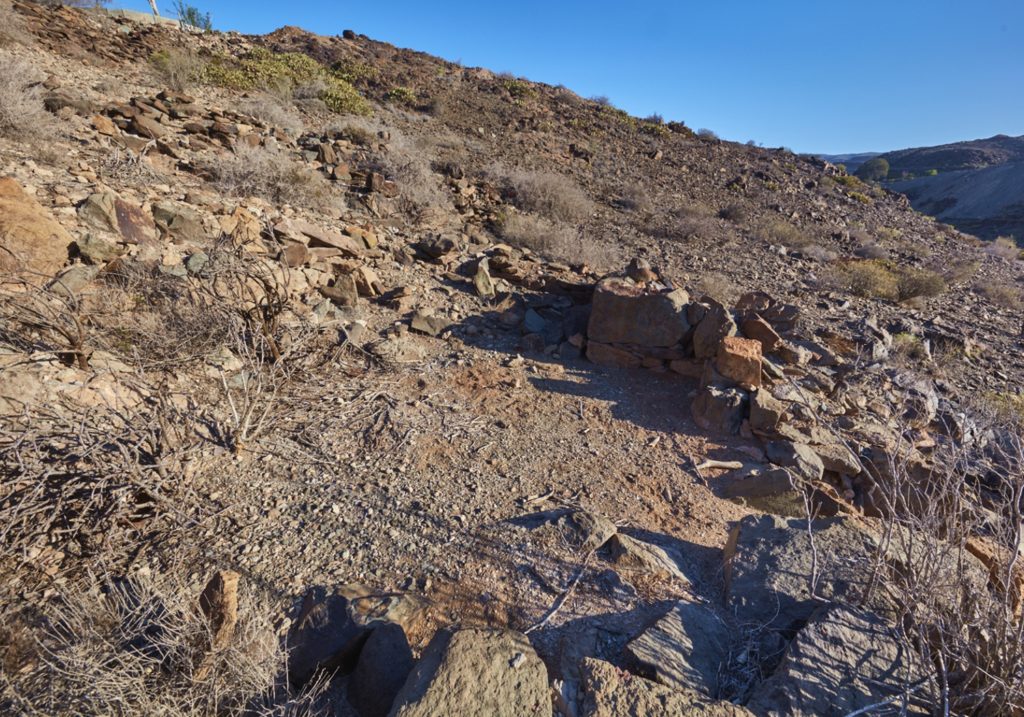
On the right bank of the Maspalomas ravine there is an interesting settlement made up of about thirty dry stone houses known by the name of Lomo Perera. Some of the constructions are supported by artificial terraces formed with stone walls to save the natural unevenness of the hillside.
The houses of the Lomo Perera site are cruciform or quadrangular on the inside and oval on the outside, many of them partially in ruins.
In the vicinity of this site, the Lomo de Maspalomas necropolis was located in 1988. At least 141 burials were carried out, most of them in open graves in the ground, except for three that presented a cist as funerary conditioning. The radiocarbon locates the period of validity of this necropolis between the 10th and 15th centuries.
The texts on this page are based on the Guide to the Archaeological Heritage of Gran Canaria, edited by the Cabildo de Gran Canaria.
