Other archaeological sites


In the municipality of San Bartolomé de Tirajana more than 300 archaeological sites have been listed. Discover here a brief description and images of some of the most important ones. The information is in constant evolution due to new discoveries and research.

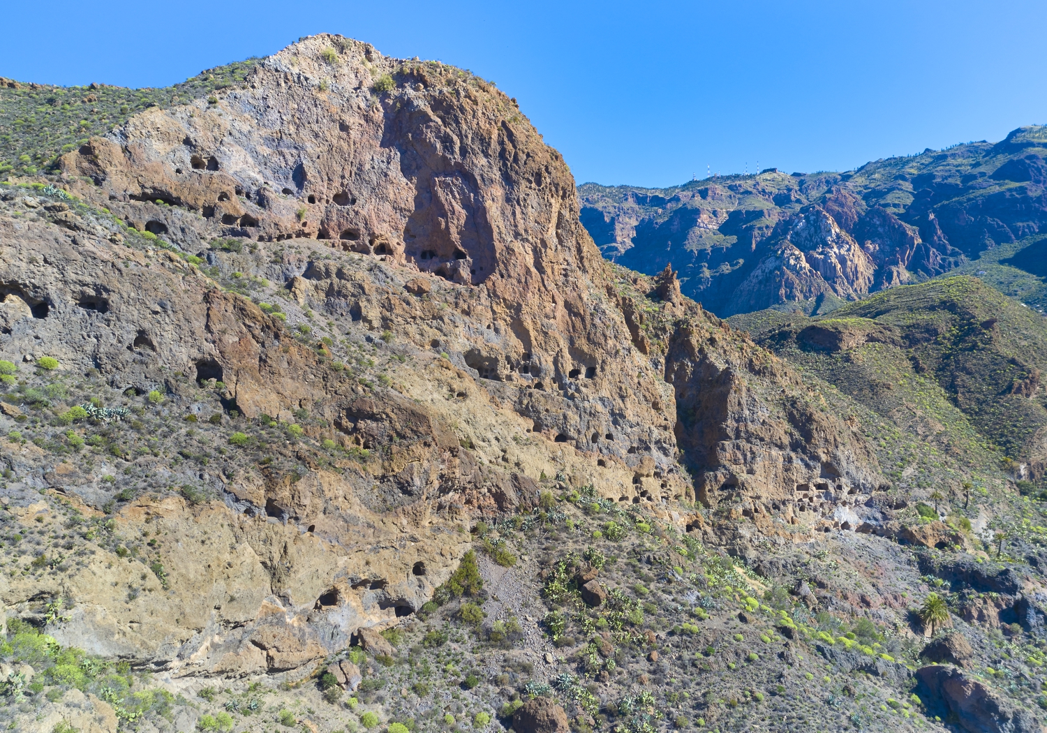
Rosiana link
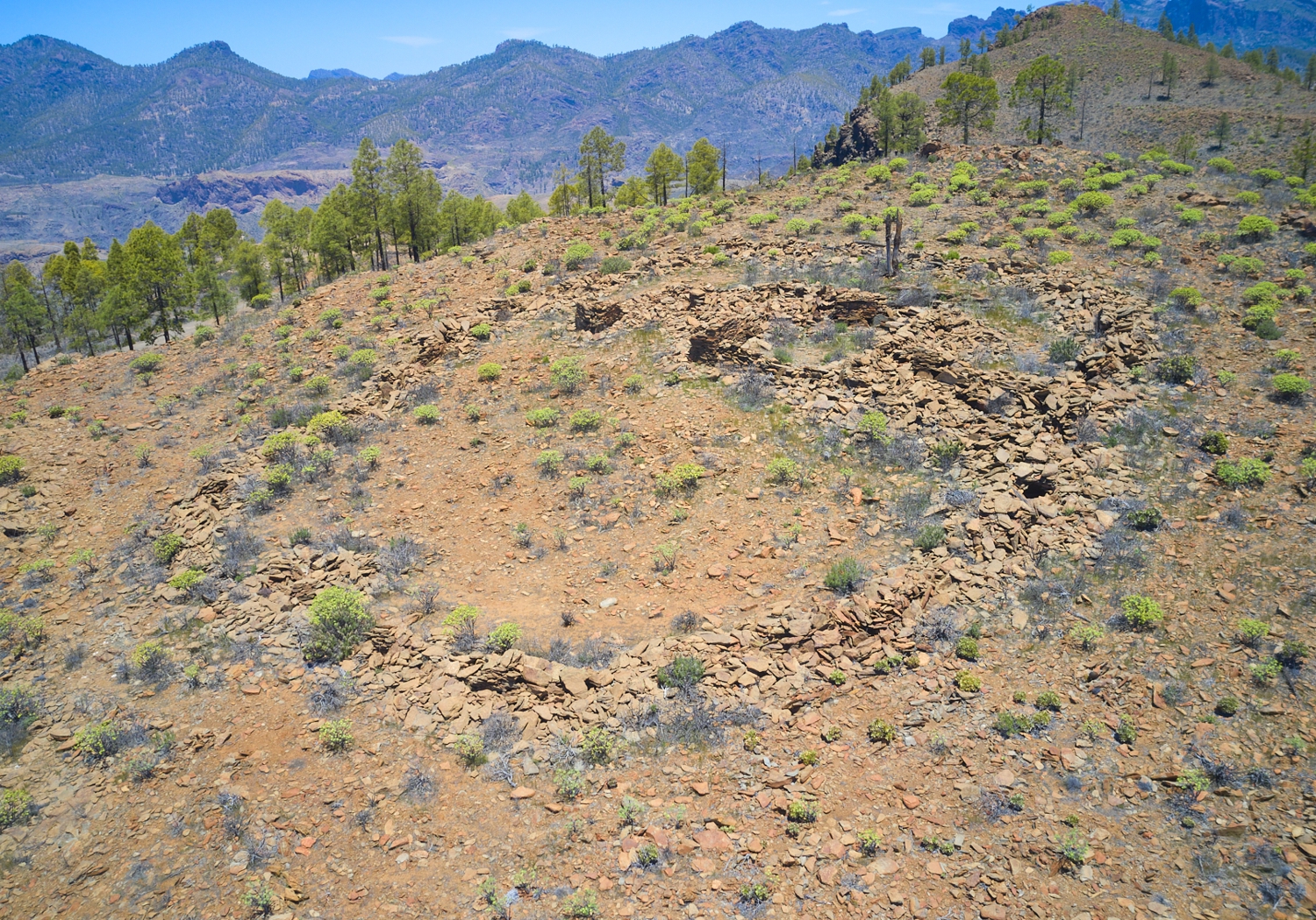
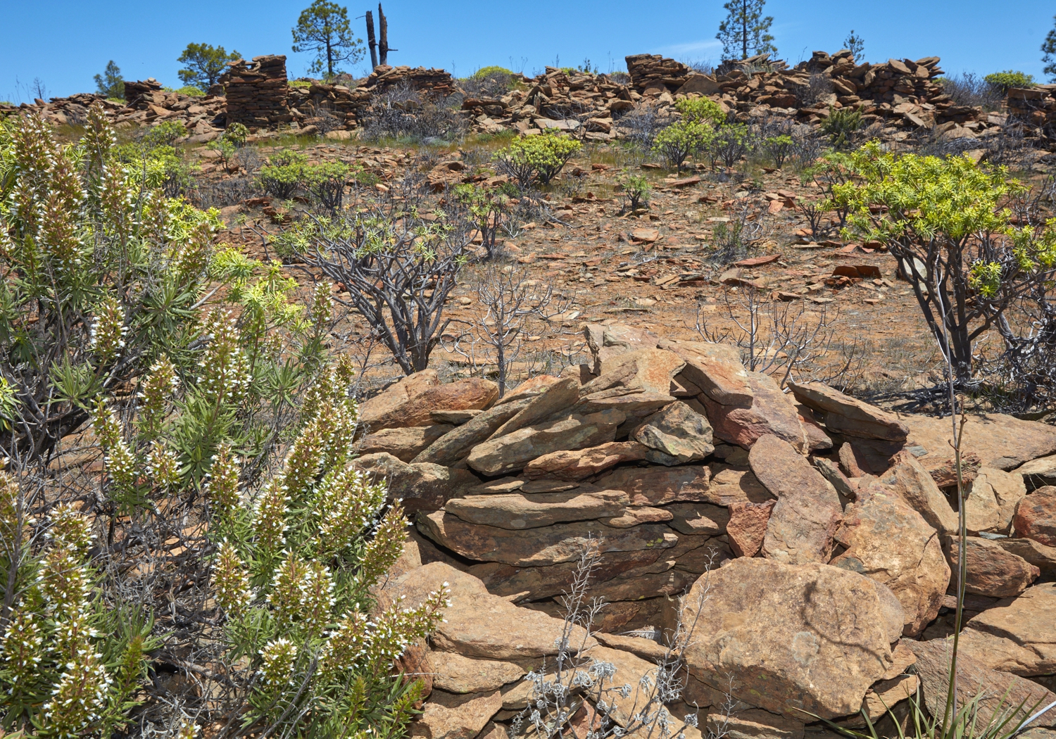
Montaña de Rosiana
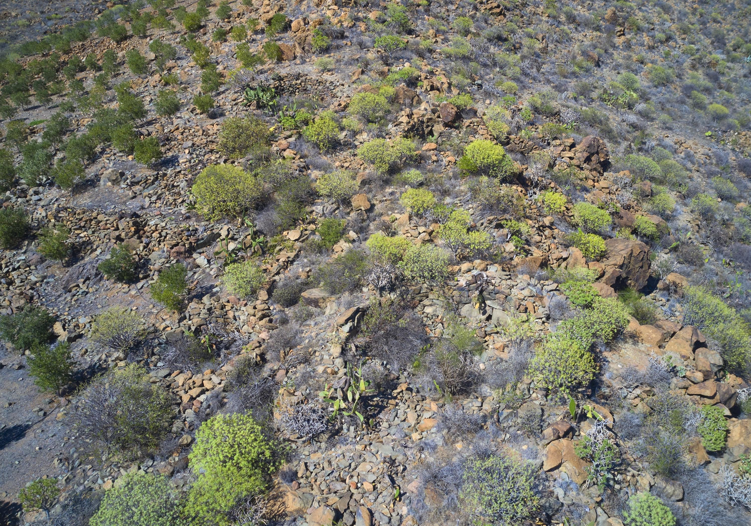
Los Caserones link
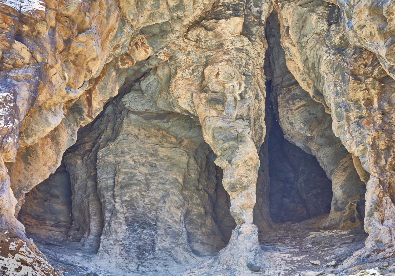
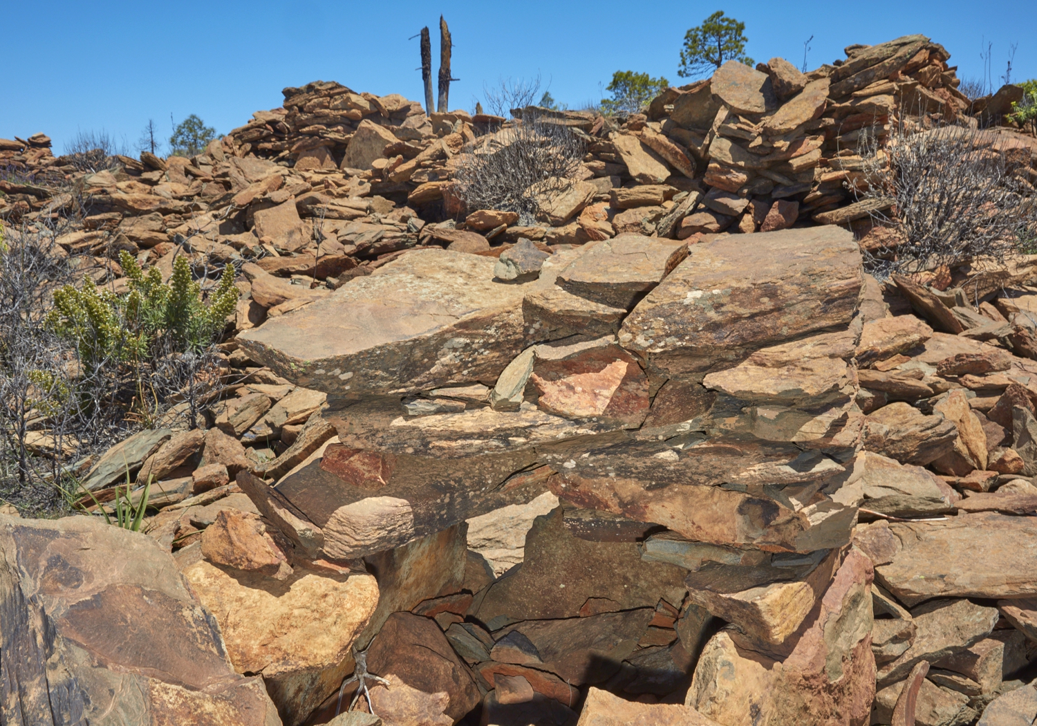
Caserones de Fataga
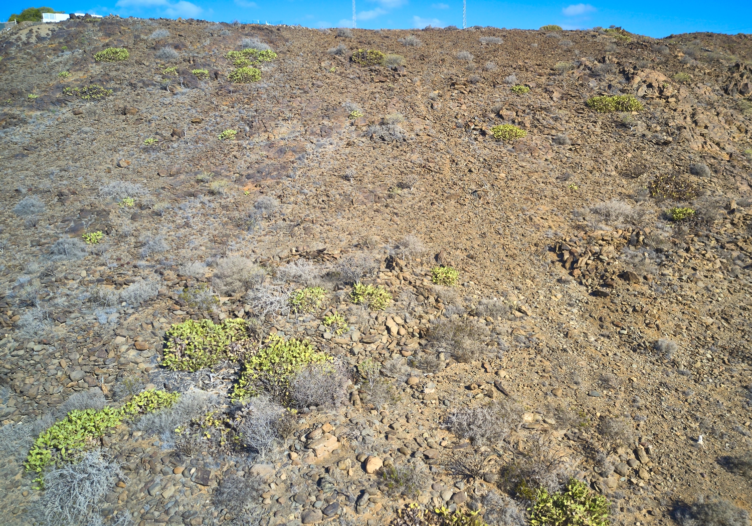
Lomo Perera link
Lomo Perera
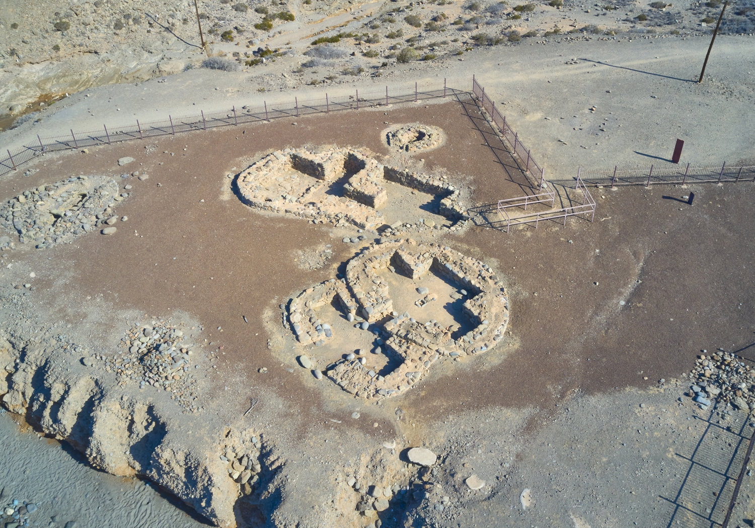
El Llanillo link
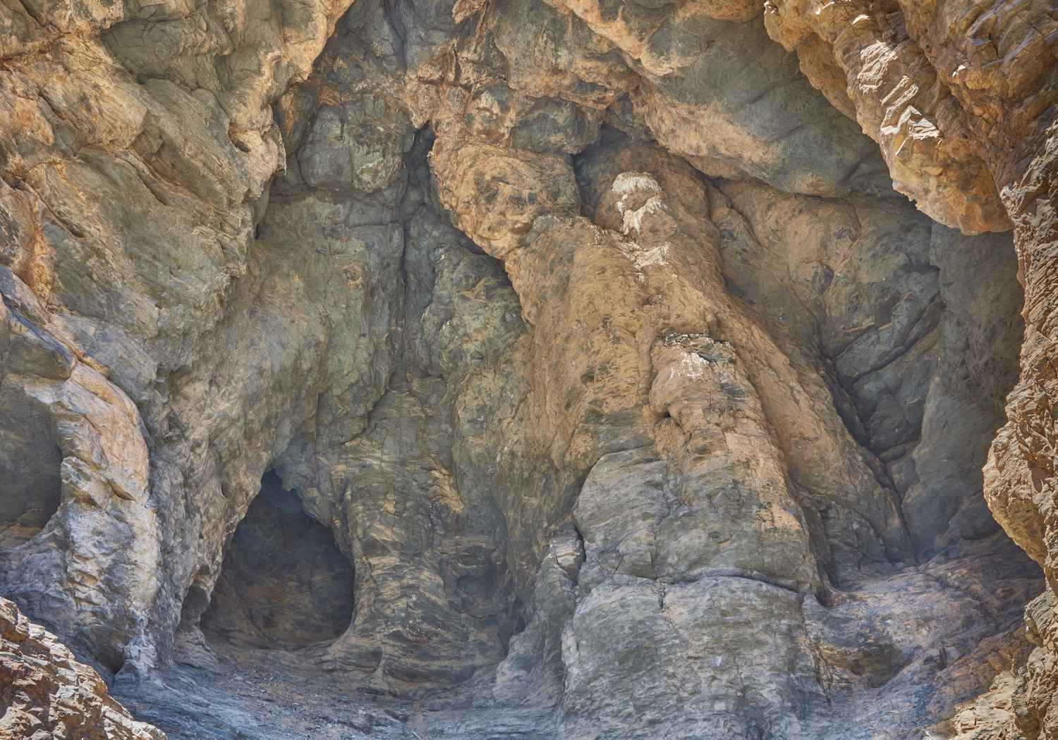
El Llanillo
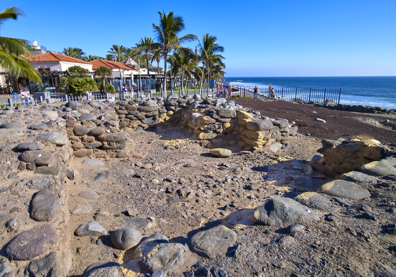
Punta Mujeres link
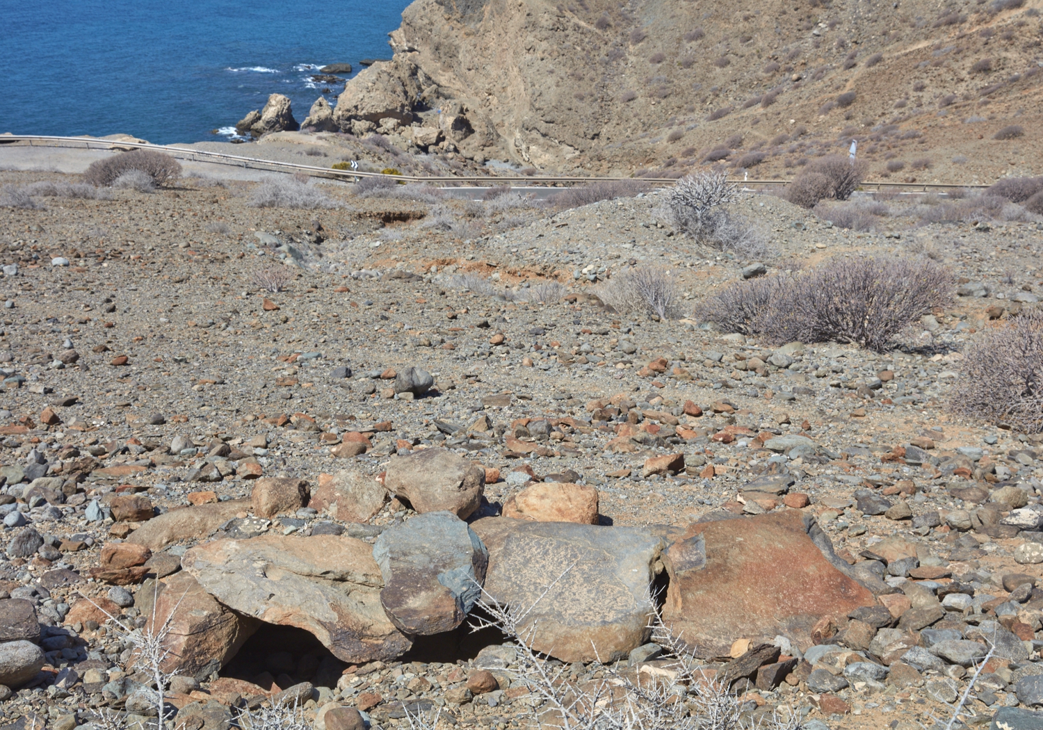
Punta Mujeres
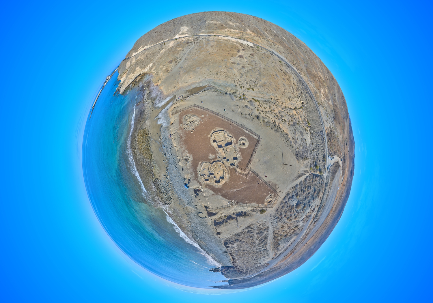
Virtual tour
Virtual tour

More archaeological sites


Among the many more deposits that we can find in the municipality we encourage you to read about:


Lomo Galeón


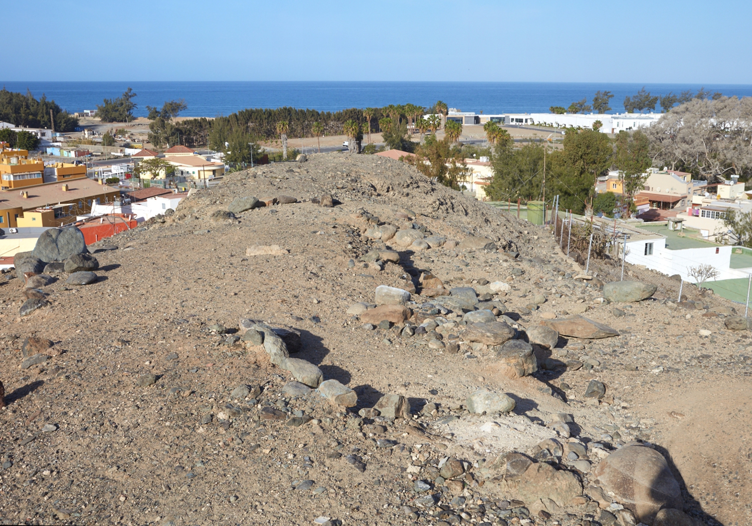
The place name Lomo Galeón refers to a necropolis located to the left of the ravine that divides the last section of Lomo Galeón, above the bay of Santa Agueda. We can distinguish three sets. The first studied was described by Jiménez Sánchez as consisting of “ten individual burials, formed by a stone cist of slabs placed vertically and covered with others, on which a small mound of small stones or gravel rises.” We only know seven of the ten burials mentioned by the author. The second set is located above the previous one. It is made up of six cists and was discovered by Julio Cuenca Sanabria in 1982. The remains of several adult individuals of both sexes were recovered. The third set is located below the road and is made up of remains of walls and what could have been three cists.


El Pajar


On the left bank of El Pajar beach was the old village of Arganeguín or Areaganigui, scene of the attempted invasion of Gadifer de la Salle in 1405. Today that indigenous village lies buried under the houses that have occupied the neighborhood of El Pajar, or they have disappeared under the banana plantations, barely remnants of some scattered outcrop structures, although some of their caves still exist, mainly in the Arguineguín ravine. The village included, as usual, a necropolis, which was in La Punta del Perchel, where the cement factory is located today.


Almogarén de Amurga


It is an enclave excavated in the rock made up of numerous cups of different dimensions interconnected by an intricate network of channels. It corresponds to one of the most complex and spectacular examples of the sites that have been interpreted as a place of worship. This area has been given names depending on the variety of geological forms that make it up, including the Amurga summit, Lomo del Pajarcillo or El Talayón. In the watershed that separates the Tirajana and Fataga ravines we find numerous traces of the pre-Hispanic settlement of the island, some of which – including certain defensive structures- must be closely related to the end of the Conquest.


All the archaeological information is subject to constant changes and updates, due to the new investigations that are being carried out.
The interpretations of Canarian prehistory are also conditioned by the assessments of the experts, who may disagree with each other.

Almogarén de Santidad


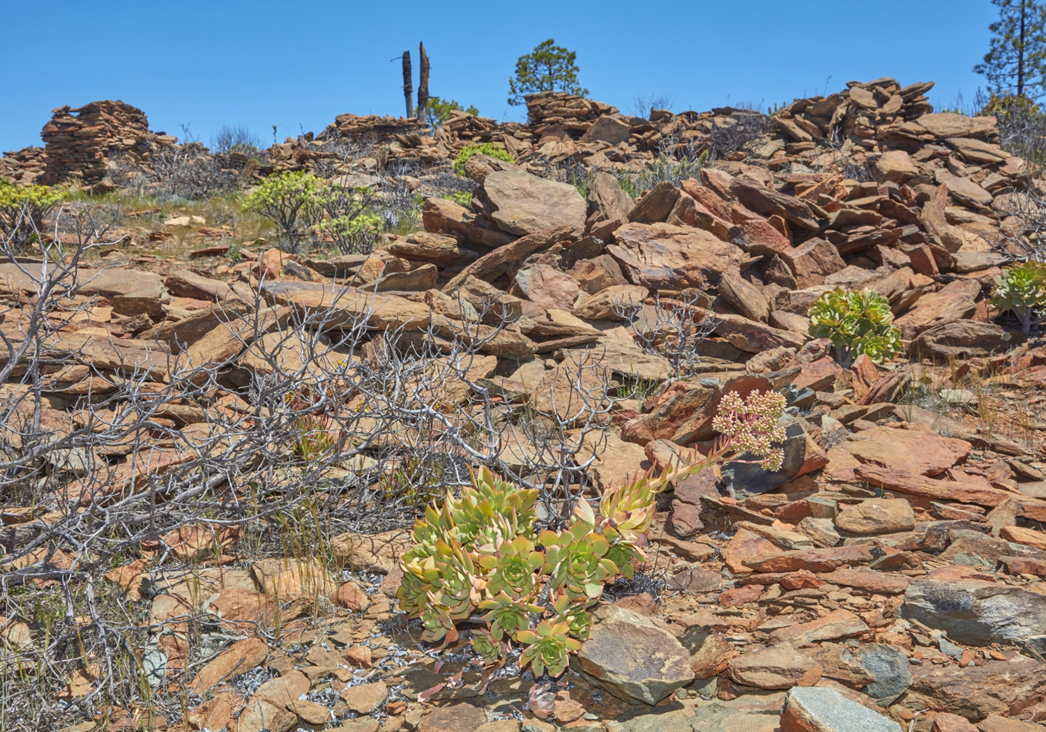
At the top of a plain facing south from the Santidad Mountain, a strange structure is located. Its functionality is uncertain, but it is considered a possible place of worship. It is a large elliptical-shaped enclosure (about 40×30 metres) made up of a double row of enormous slabs driven in, which has then been filled with other slabs placed horizontally to form a wall with an opening in the middle of each side. Inside it preserves the remains of three dwellings, in front of which stands a turret with a circular base. Access is via a dirt track that goes up to Morro de Hierbahuerto, on the left bank of the Chira ravine, beyond the wall of the dam heading south.


Caves of Los Vicentes ravine


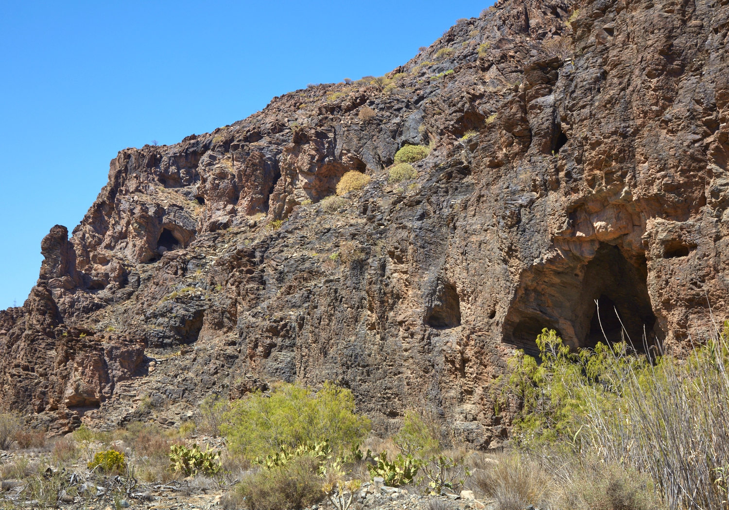
Set of natural caves located on both sides of Los Vicentes ravine, near its confluence with the Fataga ravine. Its character is residential and funerary, appearing in some of them remains of closing walls, on slabs. One of them is given the name of Cave of the Idol, due to the appearance of a small clay idol, which represents an anthropomorphic female figure.


Las Pilas de Los Canarios


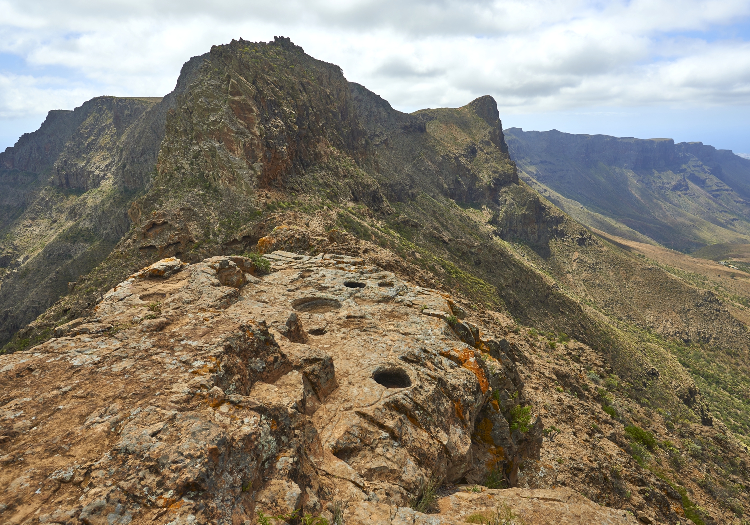
In a ledge located at the top of the Campanario, one of the highest mountains on the island, we find a platform that houses a curious group of five bowls and canals, identified at the end of the last century by Víctor Grau-Bassas as the lost almogarén ( place of worship) of Humiaga, cited by ethnohistorical sources, although today it is doubted whether it is Humiaga or whether it is an almogarén. Las Pilas de los Canarios is located right on the edge of the Caldera de Tirajana, facing an impressive abyss of hundreds of metres in free fall, with several bowls excavated from this cavity with great finesse in the rock, some of which are connected to each other by a complex network of fine canals that hold the water that usually drains from the rock almost all year round.

The texts on this page are based on the Guide to the Archaeological Heritage of Gran Canaria, edited by the Cabildo de Gran Canaria.
The text of Los Vicentes is extracted from the Archaeological Guide of San Bartolomé de Tirajana, published by the City Council.

Skip to content